


New Delhi: India has clarified its position on the United Nations General Assembly’s ‘Correct the Map’ resolution, stressing that the initiative is aimed at promoting equal-area map projections and ensuring better representation of the world’s regions, particularly Africa.
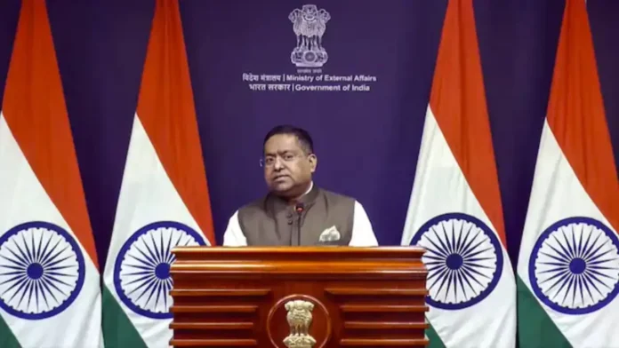
Ministry of External Affairs spokesperson Randhir Jaiswal explained India’s position in a post on X on Sunday, September 6, after the resolution received overwhelming support at the UN General Assembly.
What Is the UN ‘Correct the Map’ Resolution?
According to Jaiswal, the proposal seeks to encourage the use of equal-area map projections, which preserve the relative sizes of continents and countries more accurately.
He clarified that the resolution does not adopt or endorse any specific world map or map projection. It also does not deal with political mapping issues such as international borders, disputed territories or place names.
India voted in favour of the resolution and also provided an explanation of its vote, highlighting the importance of representing the geographical areas of countries and continents closer to their actual proportions.
India Reiterates Position on J&K and Ladakh
While supporting the resolution, India made it clear that the initiative should not be interpreted as endorsing any particular depiction of national borders.
India reiterated that its sovereign territory, including the Union Territories of Jammu and Kashmir and Ladakh, must be depicted strictly in accordance with India’s official map.
The government stressed that any inaccurate or misleading depiction of India’s territory would be “unacceptable”, reiterating that the country’s position on its sovereignty and territorial integrity is “clear, consistent and non-negotiable.”
164 Countries Back Resolution
The UN General Assembly proposal received broad international support, with 164 countries voting in favour.
The United States was the only country to vote against the resolution, while six countries abstained.
The resolution aims to promote world maps that represent the relative areas of countries and continents more closely to their actual geographical proportions, addressing distortions found in some commonly used map projections.